
IRIDE
Earth Observation steps into the Future
Today we are going to talk about IRIDE, a fully Italian project which aims to be 100% operative as an Earth observing constellation by 2026.
In the context of the NextGenerationEU program, under which lies the Italian National Plan for Recovery and Resilience (PNRR), the Italian Government funded the IRIDE project. Thanks to its great ability and experience over the past decades, ESA was delegated by the Italian Government to develop, both under the contractual and technical point of view, the IRIDE Project together with the support of the Italian Space Agency (ASI). At the end of this mandate, the whole project will be handed back to its proprietary, the Italian Government, which will distribute the generated data to public and private companies, as we are going to see today.
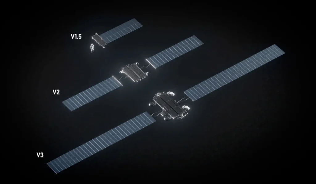
Starlink Gen2: Engineering Evolution of SpaceX’s Next-Generation Broadband Constellation
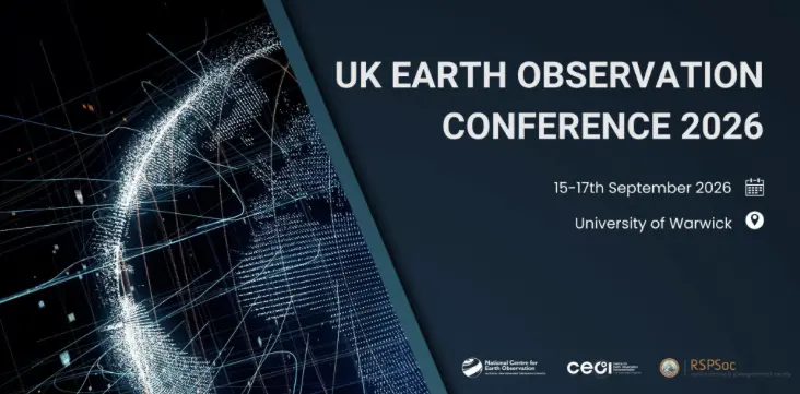
A Community-Driven Vision for the UK National Earth Observation Conference 2026
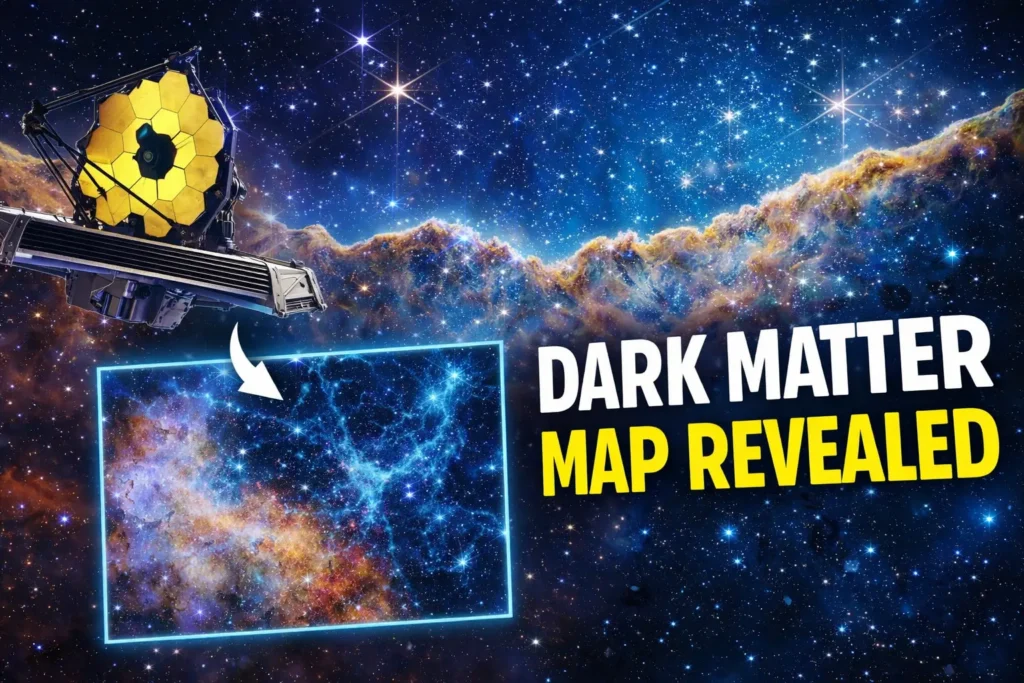
Dark Matter’s Hidden Web: Webb Reveals the Invisible Architecture of the Universe
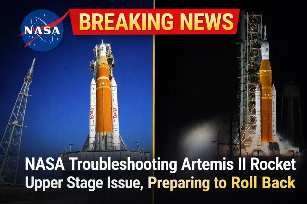
Breaking: NASA Troubleshoots Artemis II Upper Stage Issue — Preparing to Roll Back
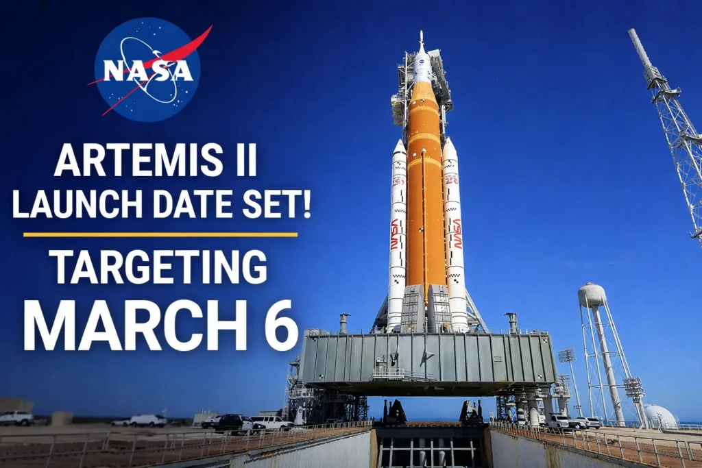
NASA’s Artemis II Mission Advances Toward March 6 Launch After Successful SLS Wet Dress Rehearsal
£1 Million Boost for Arts and Humanities Research into Outer Space
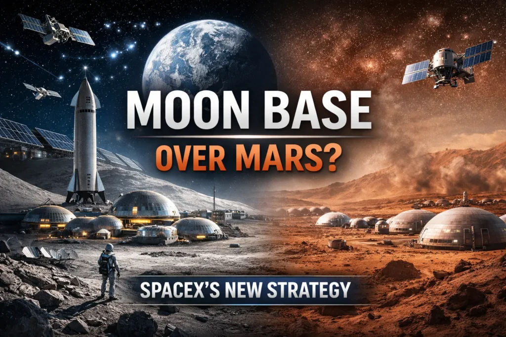
SpaceX’s New Moon-First Strategy: A Groundbreaking Pivot in Lunar and AI Infrastructure
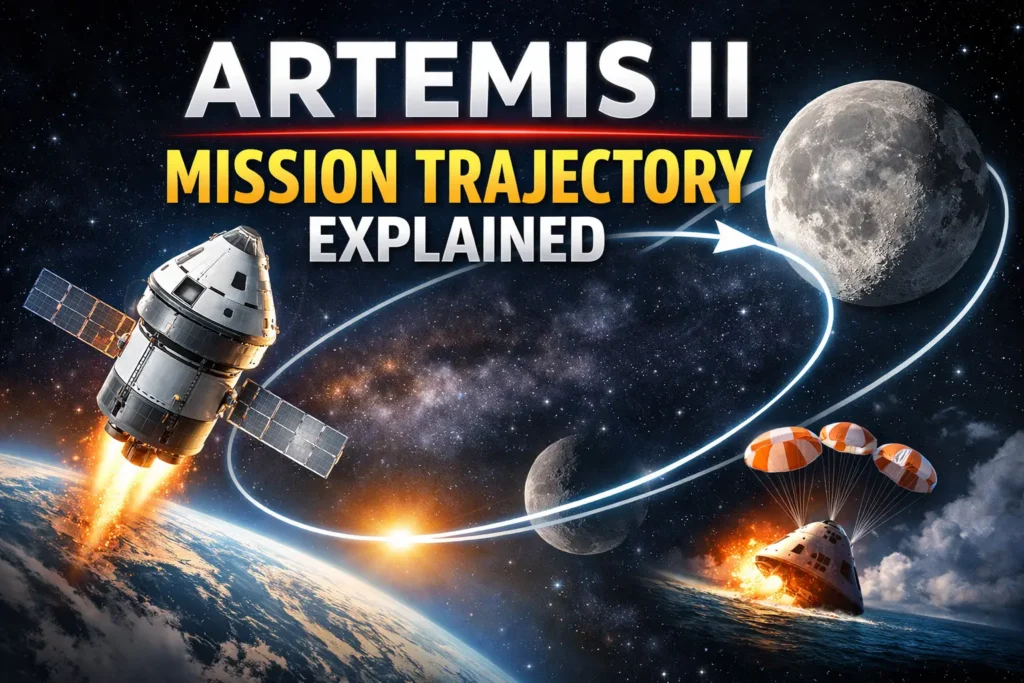
Artemis II Trajectory Explained: How NASA Will Send Humans Around the Moon Again
Beyond the Moon: Lesser-Known and Fascinating Facts About NASA’s Artemis II Mission
Artemis II: Key Questions About Humanity’s Next Crewed Lunar Mission

So, what is IRIDE Exactly?
Upon its completion, in 2026, the constellation will be able to count on more than 60 satellites that will be able to observe Italy by exploiting a variety of observation techniques and the ability to completely cover the country with a daily observation frequency. Furthermore, flying over the planet in Low Earth Orbit (LEO), the ground sampling distance of the optical images will be around two meters. But this is only an introduction to what we are going to talk about… if you want to know more about how IRIDE will work in terms of Space and Ground segments as well as the technology of each satellite let us know on our website (www.spaceinfo.club) or contact us via our socials.
SpaceInfo Club had the great pleasure to meet part of the IRIDE Team and the following are a few questions we made to Engineer Marco Casucci, who is responsible for the increase of adoption of Earth Observation in Local Public Administration under the IRIDE Project.
“If this was made by means of an airplane a huge amount of fuel would be needed as well as a hugely large fleet of vehicles to simultaneously fly over a Country like Italy to constantly monitor its surface”
Nowadays, how important is Earth observation, particularly related to prevention and prompt action against catastrophic climate scenarios (e.g. floods)?
To this question, another one can be asked to better define a framework: why do we need to place objects into orbit? We have airplanes and UAV , couldn’t we use them? An immediate, but deeply true answer is given: it may seem counterintuitive, but the cost of data from satellites are much cheaper in several domains (e.g. forestry, land use, environment monitoring etc.) for repeated Earth observation than airplanes and UAV data. Think about the physics, you need some amount of energy (read: fuel) to launch satellites into orbit and then a relatively small amount of fuel to keep them ‘on track’ while soaring our planet. This orbital motion can be iterated for months or, as usually happens, years. If this was made by means of an airplane a huge amount of operational costs (i.e fuel, pilots, logistic, etc) would be needed as well as a hugely large fleet of vehicles to simultaneously fly over a country like Italy to constantly monitor its surface. You can easily figure out that this is unsustainable. Satellites also fly much higher than airplanes, something like ten or twenty times the altitude. Even though they are capable of a highly detailed observation of the ground satellites can observe physical phenomena happening above the usual flying routes of airplanes, which means that most meteorological observations can only be made by satellites. As long as agricultural and forest development is regarded, only the wide vision capability of a satellite allows a small to very-large scale of monitoring. Under the industrial point of view, developing such a large and highly technological project has a huge impact on the industry, which is not restricted to the local one. Developing this kind of business extends the scale along all the production chain, which is a flagship to Italy. Let’s try to think about the production operation and maintenance of this constellation. First, satellites must be designed, then built and launched. All these steps are fully covered by Italian companies and highly skilled people, whose contribution is fundamental. Then, also the launch phases, as well as commissioning and operation must be considered” – Note: we have written a dedicated article about the typical phases of a space mission: give a look at our members area to know more! – “Also these parts of the process will distribute huge value to the territory, companies and people who will take part to the project.Worth noticing is the fact that all these capabilities, both under the technical and business stand points, will be highly reusable in future projects, inside of a international strongly expanding sector. Thinking of the specific case of Italy, there is a strong presence of mountains, which favors hydrogeological risk, a risk that can be monitored over time through a constellation of satellites. Another example of evolution monitoring is the higher frequency of peak natural events such as strong precipitations, floods or, on the other side, persistent drought. Strongly related to this phenomena is the land movement, which is in close interaction with the so called anthropogenic pressure, which quantifies the human presence (e.g. buildings) on a designated piece of land.

Earth observation – artist concept.
Image Credit: The SpaceInfo Club
As long as the Italian activities are regarded, which are the main applications of IRIDE, besides the environmental aspect?
Today we do not have an exhaustive list of the activities that will benefit from the IRIDE system, this would mean limiting all end users (individuals, companies or institutions) who will eventually access the data and on which applications will be developed. A higher level definition is needed. The data will be accessible directly by the Italian Public Administration, while they will be sold to private companies for commercial exploitation. Two different returns on investment are therefore defined; the latter is purely economic, while the former is citizen-oriented. As mentioned in the previous question, the benefits induced on the territory will be innumerable, to which are added, by way of example, urban development and large-scale heat management, precision agriculture, forest monitoring and emergency management.
“Two different returns on investment are then defined; the latest is merely on the economical side, while the first is oriented to the citizens”
Thinking about the future, will each European Country have its own IRIDE-like constellation?
Several Countries have already stepped towards this direction, assuming IRIDE as a model. In particular, ESA demonstrated to be very effective in the process management, from funds capturing and flowing them into the local industry under a very efficient contractualisation process.

Image Credit: Unsplash
“A lot of things can go wrong, the most common of which can be a failed detumbling or a failed solar panel deployment, which will condemn the satellite to become a debris with no control”
How do you see the future of Earth Observation?
First of all: users. from the Central and Local Public Administration entities will all benefit for the direct access to these data.
The case of Italy is the following: we have about 200 central administrations which have already access to and use satellite data. On the other side, Italy has about ten thousand local administrations most of them don’t even know how to use this information! The reason why they don’t use satellites is that they usually don’t even know about their existence, don’t know how to use and thus don’t trust them. IRIDE will contribute in spreading knowledge in this direction, also to give Italy an important competitive advantage so that the territory will be directly governed by who lives daily into it. Let’s make this example, to better understand how deeply these data could support the life of the local population. Tuscany, a region of the Central Italy, is full of cypresses which are placed as rows along hilly roads. Their function is not only aesthetic… their root structure is fundamental for the road integrity. Being able to map and control the huge number of territorial features like this is of paramount importance to the local administrations. If we move the forest mapping to urban areas, we’ll be able to help the municipal administrations and guide them in placing trees inside the quarters, with the most visible benefit of heat mitigation, particularly in this season. As you can see, there are many possible applications descending from such amount of data.
Image Credit: Unsplash
Several Countries have already stepped towards this direction, assuming IRIDE as a model. In particular, ESA demonstrated to be very effective in the process management, from funds capturing and flowing them into the local industry under a very efficient contractualisation process.
We can decompose the whole project into different phases, which are basically the typical ones:
1 – Satellites construction, launcher selection and infrastructure development.
2 – Launch and Early OPerations (LEOP), which are usually taken over by specialized companies.
3 – Operative life of the constellation, at client’s disposal.
Very different competences are needed along all these phases and all of them have critical activities. The Satellite construction is critical because the satellite can’t be repaired once it is in the space, the second phase is so critical because the satellites must be taken from the launcher deployment up to the nominal operability. A lot of things can go wrong, the most common of which can be a failed detumbling or a failed solar panel deployment, which will condemn the satellite to become a debris with no control. The third phase is the most time consuming because a continuous monitoring of the constellation is required (24 hours a day and 7 days a week). While autonomous systems will help people in orbit management in the future, nowadays tens or hundreds of people are needed. This is very expensive in terms of services. An additional phase is being defined for the IRIDE constellation: de-orbiting.
“IRIDE will steadily feed the data stream towards its users, also contributing to reinforce the trust people should have for this kind of information. Every citizen's life quality will benefit from IRIDE”

Starlink Gen2: Engineering Evolution of SpaceX’s Next-Generation Broadband Constellation
A Community-Driven Vision for the UK National Earth Observation Conference 2026
Dark Matter’s Hidden Web: Webb Reveals the Invisible Architecture of the Universe
Breaking: NASA Troubleshoots Artemis II Upper Stage Issue — Preparing to Roll Back
NASA’s Artemis II Mission Advances Toward March 6 Launch After Successful SLS Wet Dress Rehearsal
£1 Million Boost for Arts and Humanities Research into Outer Space
SpaceX’s New Moon-First Strategy: A Groundbreaking Pivot in Lunar and AI Infrastructure
Artemis II Trajectory Explained: How NASA Will Send Humans Around the Moon Again
Beyond the Moon: Lesser-Known and Fascinating Facts About NASA’s Artemis II Mission