
Join the mailing list Free weekly briefing, no spam.
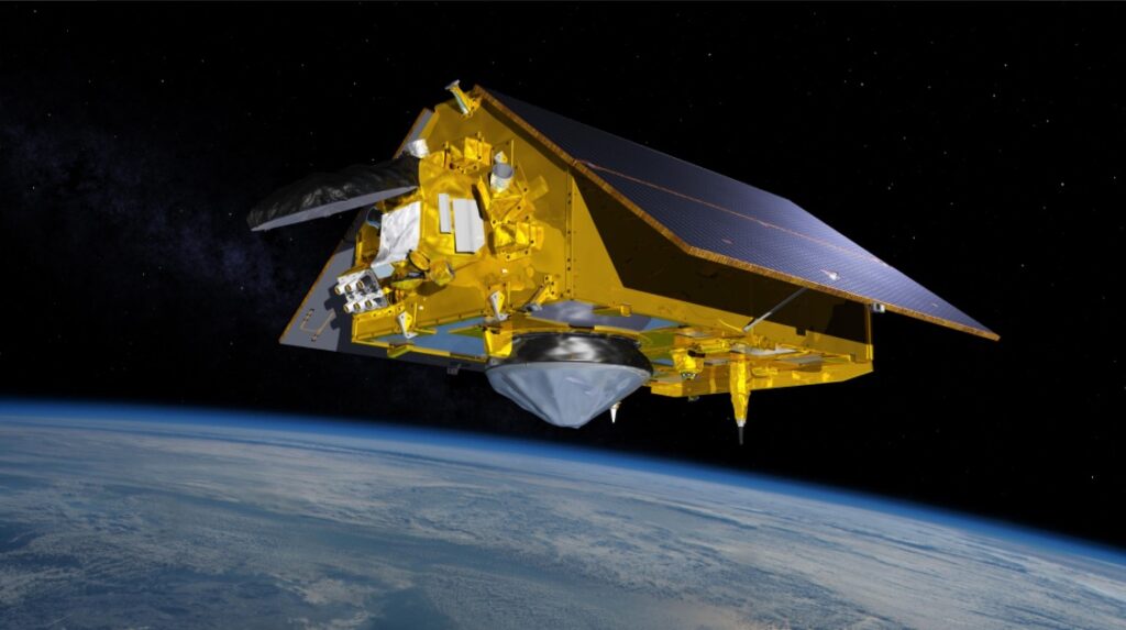
Artist’s concept of Sentinel-6 Michael Freilich spacecraft in orbit above Earth. Credit: NASA/JPL-Caltech
On 16 November 2026, NASA’s Jet Propulsion Laboratory announced that Sentinel-6B is calibrated and ready to become the reference satellite for sea level measurements. The change takes effect in January. From then on, other sea level missions will tune their own data against Sentinel-6B. Until now that job belonged to its twin, Sentinel-6 Michael Freilich, launched in 2020.
Why the ocean needs a reference satellite
A radar altimeter can measure the height of the sea surface to within centimetres, but no instrument stays perfectly stable for years. A reference mission gives every other altimeter a fixed point to check against. Sentinel-6 flies the ground track that TOPEX/Poseidon established in the early 1990s and that Jason-1, Jason-2 and Jason-3 kept using afterwards. That continuity is the reason the global sea level record runs unbroken from 1992.
How the measurement works
Each satellite carries a Poseidon-4 radar altimeter, a dual-frequency instrument working in C-band and Ku-band. ESA developed it and Thales Alenia Space supplied it. It sends thousands of radar pulses per second toward the sea and times how long the echoes take to come back. That delay gives the height of the surface. The shape of the echo also reveals wave height and wind speed. A microwave radiometer provided by NASA flies alongside to correct for water vapour in the atmosphere.
Sea level also says something about the water itself. Warm water expands, so a higher surface means more water, warmer water, or both.
From launch to tandem flight
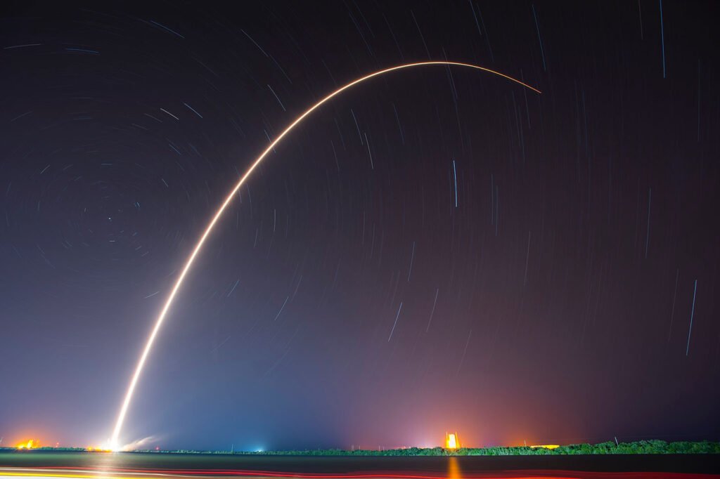
Sentinel-6B lifted off on a Falcon 9 from Vandenberg Space Force Base at 05:21 UTC on 17 November 2025. In California it was still the evening of 16 November, which is why JPL gives the earlier date. EUMETSAT took control of the satellite a few days later, and it moved toward its operational orbit at 1,336 kilometres.
For several months the two satellites flew 30 seconds apart. Seeing the same stretch of ocean twice in half a minute lets scientists compare the two instruments directly and separate instrument differences from real ocean signals. According to JPL, Sentinel-6 Michael Freilich still flies 30 seconds ahead. It will soon move into a companion orbit, and the pair will then deliver higher-resolution data than either satellite collects alone.
El Niño season
Both satellites are already recording data during an El Niño that oceanographers expect to be historic. That is a forecast, and the season will show whether it holds. Warmer than normal water in the central and eastern Pacific shifts weather patterns around the world, and the altimeters see it as a rise in sea level across that region. The data will help researchers study El Niño related sea level changes and keep the long-term record going.
JPL points to hurricane forecasting, infrastructure protection and commercial sectors such as shipping as users of the measurements. ESA expects the Sentinel-6 mission to carry the sea-surface height record until at least 2030.